As I landed at Columbia, MO, regional airport in May of 2011, my thoughts were focused on getting registered for the NRA Bianchi Cup Action Pistol Championships and making it to the practice range before sundown.
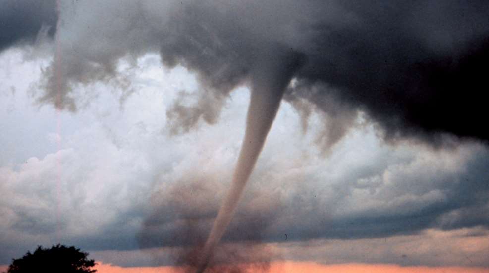
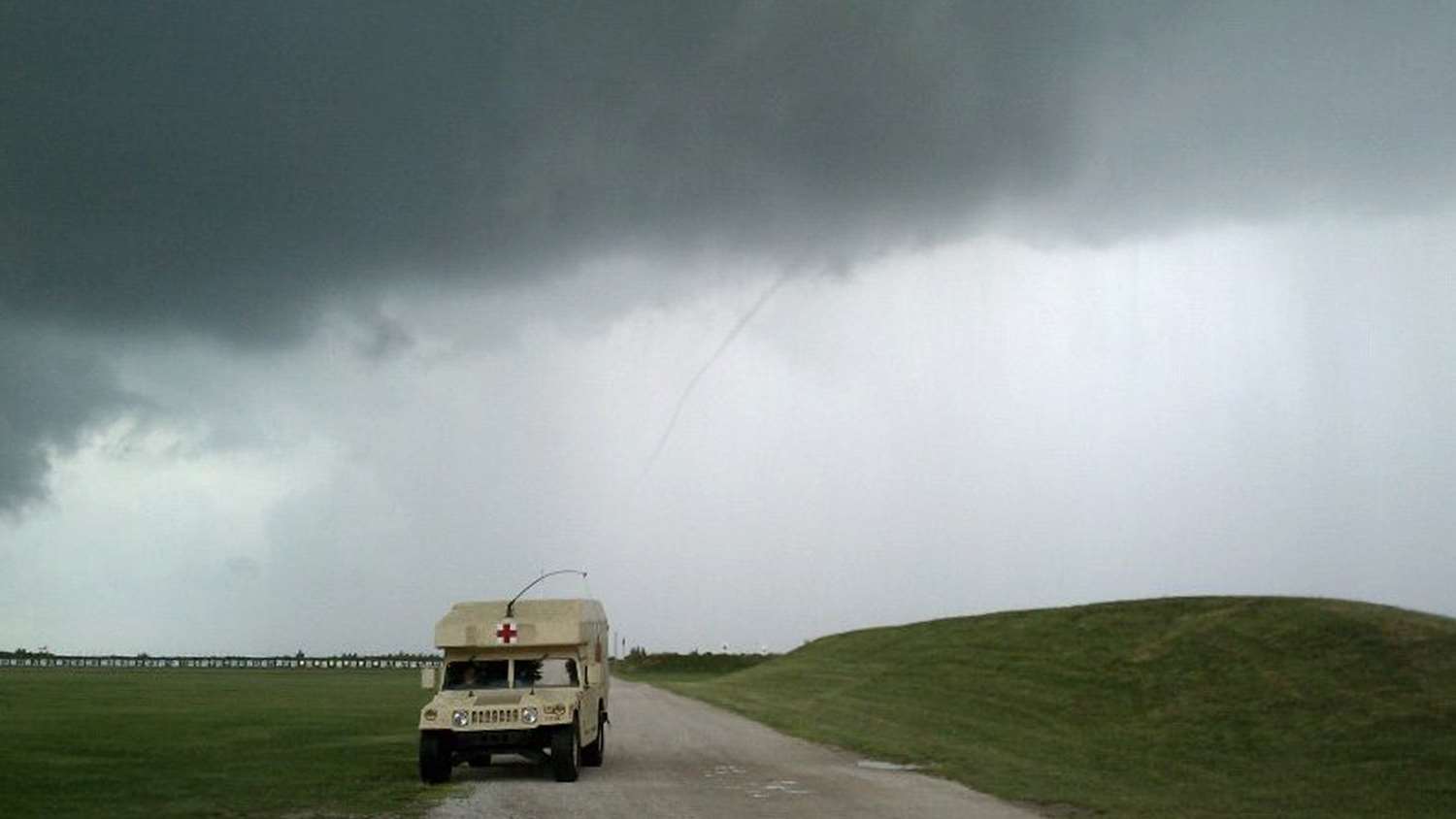
Listening to classic rock while driving my rental car along Highway 63 to Interstate 70, the music was suddenly interrupted with emergency warnings to seek immediate cover if you were in Newton or Jasper Counties. (I later learned I was heading for Boone County, which would have been very helpful to know at the time.) Of course, I had no idea what county I was in. Other than scan the horizon and try to remember whether or not I was supposed to seek cover under a highway overpass, I was helpless and unaware of the tragedy that was unfolding in Joplin, MO, from what would later be categorized as an EF5 tornado. It’s one of those learning opportunities I’ve never forgotten.
For 2019, NOAA (National Oceanic and Atmospheric Administration) has forecast a 25 percent increase in flood levels. Upon hearing this newscast, my thoughts shifted to the potential risks at matches and vacation trailer sites we were planning on visiting this summer.
Here are a few simple things you can do to research areas you plan to visit. The fact that you’ve read this far means you’re already ahead of the game.
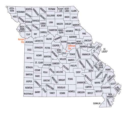
- Flooding. Flood risks are predicted with the help of topographic maps that measure height above sea level, weather forecasts and historic river crest data. Among other missions, FEMA (Federal Emergency Management Agency) provides the data with which insurance companies set rates for homeowner flood insurance premiums. In simple terms, flood maps depict the elevation of your property relative to nearby rivers or ocean fronts―but also take into consideration low-lying areas that are susceptible to flooding. Here’s a website for your “weather range bag” that can at least give you a general level of risk for your planned trip location. For example, the Bianchi Cup’s location at the Green Valley Range near Columbia appears to be at a low risk of flooding.
- What county are you in? As another “before-you-travel” planning tool, here is a website that translates a street address to a county.
- Emergency weather. Various weather warning apps are available as part of your local news channel. Nationwide apps I’ve installed on my Android phone include MyRadar and the 24/7 (NOAA) WX Radio and Radar app that broadcasts the National Weather VHF radio bulletins and any warnings directly to your phone. Check out you existing weather app on your phone. It may already provide a warning option that taps into this same NOAA service.
- Barometric Pressure. Another simple app to consider is a barometer. Most smartphones have this “skill” embedded in their circuitry and the app simply displays barometric pressure on your screen. Normal pressure averages at about 1013 millibars. Rising pressure means a good day on the range. Falling barometric pressure forecasts bad weather. (During Hurricane Katrina, barometric pressure dropped to 909 millibars.) A drop of several millibars over 24 hours means you should prepare for a bad day on the range.
- Scanner Radio. Efforts to increase security for police and firefighter radio communication have moved scanner technology into the fairly difficult-to-program world of trunked radio channels. The app Scanner Radio links you to a large number of “scanner geeks” who have done the technical work and share their scanners via website servers. Scanner Radio even sorts local scanners by how close they are (i.e. relative to your area) by tapping into your phone’s GPS feature, if you allow it to do so. The app is available for Android and iOS.
- Situational Awareness. Lastly, take two minutes to scan the range area before the adrenaline is pumping during a crisis, and make note of streambeds, hardened buildings, etc. that may serve as cover during a lightning storm―or worse. It could save your life.
Most Popular